Muses Thursday and A Quick Peak Ahead
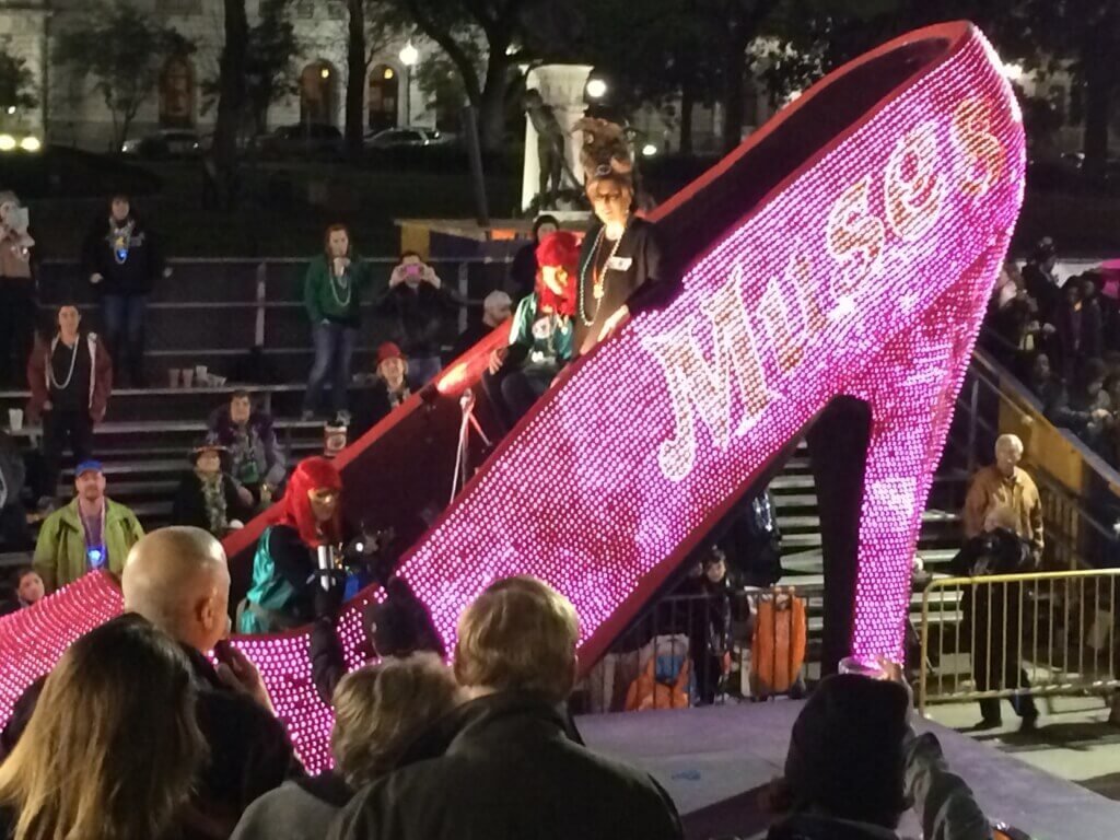
Another warm day on tap Thursday ahead of the first of a couple of cold fronts coming this weekend. Parade weather should be cloudy, with a south wind about 10-15 mph and around 70 degrees.
Potentially some rain overnight with frontal passage, but should remain dry for the Thursday night trio.
Image from Tropical Tidbits. This shows one of our newest high resolution models, FV3 from 12z on 2/22/22. This would be at 6 pm Thursday night.
It shows the storm system over the Ohio Valley and Rust Belt, and some storms from the trailing cold front starting to get into northern Louisiana. Looking below, you can see where the European Model has the front by midnight Thursday into Friday.
Image from Tropical Tidbits. Jacob Caddell did some MS Paint to show the front location, despite it’s obviousness. Also what a temperature difference from around Alexandria to Shreveport on that!
Severe weather does not appear to be an issue with this system, with very weak forcing (things that physically move air upwards), no instability (makes air rise on its own), and weak low level winds. The severe threat should remain well northeast of the area on Thursday, leaving us in the humid “warm” sector of the system.
Image from Tropical Tidbits, showing the NAM 3k’s model derived sounding for the Southshore. Graphics to point out why I’m not expecting severe weather, but also why there’s going to be some clouds despite most of the column of air being quite dry.
Thursday Night Summary: Cloudy, with a slight south breeze. Temperatures should be in the Mid 70s by the time Babylon rolls at 5:30 pm. It will slowly fall into the evening, with warm air still flowing in from the south and the expected cloud cover. Expecting it to be about 70 when the last shoe is thrown for the night. Will be dry.
Tomorrow I’ll post the forecast for Friday, but I do want to take a quick peak ahead for the rest of the parade week.
Saturday is going to be mostly cloudy, but the rain should stay away. More importantly, looking at ideal temperatures for parading. Looking for mid 60s for highs, during Tucks and the start of Endymion’s roll. There will be rain forming to the north; however, as the second cold front comes to re-enforce the cold air. It’ll bring some rain overnight Saturday into Sunday morning, so keep an umbrella handy if going to the Extravaganza.
Sunday will start soggy and clouds will hang around for most of the day. It will also be cooler, with temperatures struggling to get out of the 50s and what at this point looks like a light northerly breeze. Have the jackets handy, because without sun peaking through it is going to be chilly on the route.
Lundi Gras currently looks to be spectacular. Highs only in the low 60s and should be dipping into the 50s for parade time. Clear and sunny all day. Again, I’d keep the jacket handy with the northeast wind that should be in play.
Mardi Gras is trending warmer with temps getting into the upper 60s (and could easily continue to trend warmer over the next few days on the models. Probably partly to mostly cloudy but the sun will find its way through as the day rolls on. It will be a chilly start for Zulu, with temperatures near 50 but it’ll warm nicely through the day. Start with a jacket, but expect to be in short sleeves by the end of the day.
That’s it for now. To support the Gumbo Weather project, come donate at my Patreon: Gumbo Weather Patreon


