Friday Parade Forecast: 2/25
Cold front passage on Friday morning with a light band of rain yields to a night of parades in the low 60s, but questions remain on just how far SE the front gets.
Will be a cloudy day, but even if the cold air behind the front doesn’t push through until Saturday morning…the brutal humidity of Wednesday and Thursday will get flushed out.
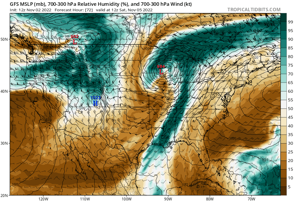
Image from Tropical Tidbits. Annotations by Jacob Caddell.
Big fat saturated layer just above the ground will keep the clouds around all day. Aided by a little lifting over the denser cold air of the front.
Now to the question of the day: When does the colder air actually move in?
The model that handles cold air placement the best is the NAM, which does push sub 60 degree air into New Orleans by noon on Friday.
The best models in the arsenal, the GFS and European both hold the colder air back until Saturday morning, with temperatures in the upper 60s during the day and for Hermes to roll.
The FV3 high resolution model also holds the cold air back a little bit, putting New Orleans in the upper 60s for parade time.


Images from Tropical Tidbits. Showing the GFS, European, FV3, and NAM for noon on Friday (2/25).
See the challenge?
I think the NAM is too aggressive, and we end up with a high around 66 or so in New Orleans. This is a little below the NWS Model Blend (valid 18z on 2/23) but with the cloud cover ahead of the front and some north wind pushing in, I think it makes sense. Debating over what level of 60s is getting into the weeds, the main point is the temperatures should be quite nice for Friday evening, but know there is some room for the temperatures to be in the 50s if the cold punch of this front pushes further on Friday.
Now to the big change, just take a look at those lovely dew points only in the 50s for most of the day!
Image from Tropical Tidbits.
This is what will make Friday feel so much more comfortable than Wednesday and Thursday. We’re near 70 on the dew points today and Thursday, which leaves you with that sticky feeling only the Gulf Coast can provide. Getting down into the 50s on dew points though? That’s very comfortable.
So keep a light jacket handy, just in case, but you shouldn’t need it. Should be a lovely night for parades.
That’s all for today, will have the Endymion forecast up tomorrow! Also working on a severe weather 101 series of posts that will start coming out after Mardi Gras.
If you want to support the Gumbo Weather project, visit my Patreon.
Also, the preview photo of d’Etat was taken by Robert Morris at UptownMessenger.com. Still working out the kinks of attributing below the image.


