
So The Forecast Busted In Louisiana
You spend two days warning about hail, wind, and in detail about how there’s a tornado threat and then…
Nothing.
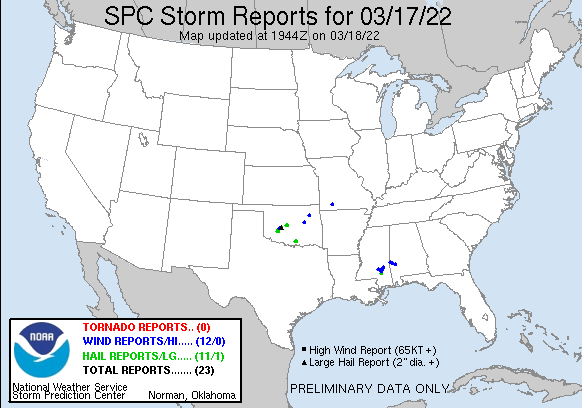
Not a single severe weather report in Louisiana last night. This is unquestionably a good thing, I’d prefer the weather not cause people harm or worse.
All that said, I hate to raise people’s anxiety about bad weather when nothing shows up. It is better than not warning people and having severe weather happen when they are not prepared, certainly, but it gets to me when a forecast is wrong nonetheless. I think that makes today a good day to take a look and try to figure out why it didn’t happen, before moving on to the more pronounced severe threat coming early in the week.
To start with, NWS New Orleans (based in Slidell, LA) sent up a balloon at 12z (7 am roughly) to sample the temperatures, dew points, and winds in the atmosphere above us.

The KLIX Upper Air Sounding from 3/18/22 at 12z, looking at the thermodynamic profile. This is everything you look for in terms of getting severe storms. Plenty of buoyancy, and from the surface. Abundant low level shear to make things spin. Extremely low LCLs and LFCs. Lapse rates above 6 C/km from 850 mb up. This is better, in terms of thermodynamics, than I expected to see this morning. Yet, all this potential thankfully did not deliver.
Instability isn’t the only factor in severe weather though, looking at the wind profile in the atmosphere might yield some clues.

NWS Slidell Sounding from 3/18/22 at 12z. Looking at the hodograph, some clues immerge. Weak mid-level winds hinder organization. Along with it, without a “cap” (when temperatures are higher above the surface than at it) you have a lot of storms go up and have outflow interact with other storms. All of this yielded a situation where lack of organization leads to storms unable to take advantage of an otherwise “good” set-up.
In the big picture, shortwaves pulling away to the NE and losing some of the forcing is not unusual when we have the forecasts not verify down here.

SPC 500 mb analysis from 3/18/22 at 12z.
The mid and upper level winds were not quite right to support deep robust updrafts, there was interference from other storms in the general area, and some of the forcing was lost as the shortwave shifted away. This system did end up producing some tornadoes and severe impacts, but over around Mobile and east of there. The threat did look to be worse over there yesterday, but what we discussed above but a ceiling on the impacts.
Conditional risks are hard to message for, and they often don’t deliver the weather I fear. It is important to take a look back, when an event verifies or not, to see what you can learn for next time. All in the endless pursuit of getting better.
Tomorrow, I’m going to look at the early week severe threat for Texas, Louisiana, and Mississippi. Until then, enjoy the sunshine behind the line of storms.
Related Posts

Hurricane Season 2023 Preview: El Nino Returns

Gulf Low Will Bring Rain and Coastal Flooding

One For The Mardi Gras Skiers

Bust Out The Shorts For Mardi Gras

Hope You’ve Enjoyed Fall So Far. Looking Ahead At The Big Picture Into November.

The Media Coverage Of Ian Has Been Frustrating

Hurricane Ian To Make Second Landfall In Carolinas

Hurricane Ian Strengthens and Grows Larger With Landfall Tomorrow

NHC Forecasting Near Nightmare Scenario For Tampa
