Bust Out The Shorts For Mardi Gras

I suppose you’ve been wondering what I’ve been up to.
Got a new baby girl on the way. Yay!
Got me a job at Copper Mountain, keeping me busy (and so is the skiing…which was kind of the point of the job).
I’ve also been dabbling with the dark arts of subseasonal forecasting, and with Mardi Gras on the way, let’s see if I’ve actually learned something.
Even Three Weeks Out, The Case For A Warm Mardi Gras Is Strong

I, in ski country, am giddy about this pattern. It’ll be cold and snowy, as it has been most of the winter in the west.
The east, and their one week of winter, will have the warmth continue. The evolution of Pacific and Alaskan ridging, leads to a western trough/eastern ridge (-PNA). This can sometimes work it’s way east over time, much like what happened in late December, but one big player is missing. Instead of a blocking ridge over Greenland to keep the cold air bottled over the United States, there’s going to be troughing to let most of the polar air sweep to the north.
No source of cold air, combined with the MJO getting into phases 5-6-7 basically has to lead to ridging and warmth across the Southeast for the last half of February.
The Precipitation Piece is Harder To Figure Out

Might be easy enough to call this typical spring.
With low formations expected nicely to the north of Louisiana and the northern Gulf Coast, it shouldn’t present many washout days. Instead, I would expect precip events to come with a severe component, with warm humid return flow being followed by quick cold fronts that retreat.
The one scenario for all day rain would be having a front stall along the Gulf Coast. That’s…certainly not unheard of in February.
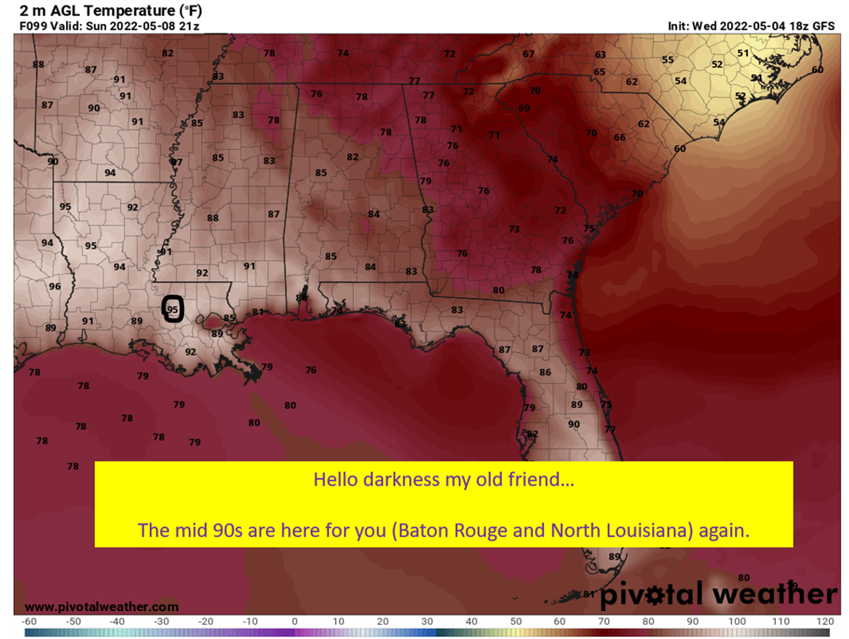
The signal, right now, is for near average rainfall during Carnival Season. So, don’t leave the raincoat behind when you pack the shorts.
The Signal For The Warmth Is Very Strong This Far Out

We’re getting into the two weeks out range, and the ensembles are all over the eastern warmth and western cold. Now, I’m not one to just jump on a model solution, even a great signal at this timeframe. The thing is, as I’ve laid out above, it makes a whole lot of sense to see this. Seeing this sort of signal, when the physical logic is behind it, gives me unusually high confidence in a warmer than normal Mardi Gras season.
tl;dr version
Get ready to sweat y’all. All signals are pointing to a warm, and of course, humid Carnival Season along the Gulf Coast. The good news is, odds of parade cancellations/delays are lower than normal with this pattern. The bad news…swamp ass will be rampant.
It isn’t obvious, at this point, if it will be especially rainy or dry. That involves details too fine in scale to pick up this far out.
I’m going to try to be a little better about updates, but I can’t promise the regularity of the past. Still, glad for anyone reading at this point!


