Cinco De Mayo With A Squall Line
The Rundown
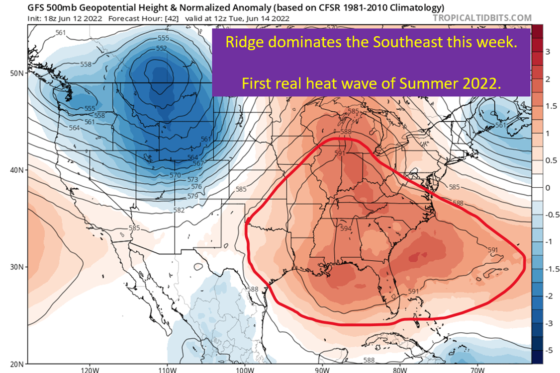
Severe season isn’t quite over in the Southeast, at least for Arkansas and north Louisiana.
Two rounds are incoming for Arkansas. One in the morning on Thursday and likely farther north and a second one in the afternoon for the south part of the state and into the Arklatex.
Round 1 – Morning MCS
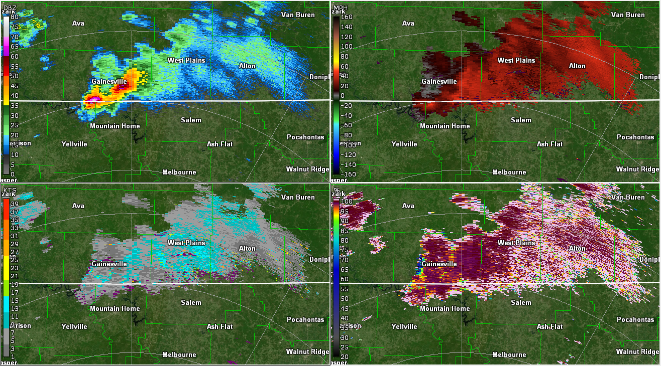
I’m not going to focus much on this piece, as it will be a line of elevated thunderstorms ongoing from the action in Oklahoma today. Could bring some wind and hail, but I’m not expecting a ton of severe impacts with this. Of course, MCSs love to surprise on the higher end, so know it’s coming if you’re up around the Ozarks.
Round 2 – Afternoon MCS
On Thursday afternoon, a strong line of storms should roll through into the region due to forcing from an upper low pushing into the area. There is a little bit of potential for discrete cells ahead of the line, but generally I would expect this set up to end up with a strong line of storms with damaging winds in bowing segments. There will be the typical potential for quick spin ups within the line of storms, but wind should be the bigger story with this.
Let’s go top down and get some situational awareness on what is to come.
Jet Stream

We’re going to be playing the hits on this system. Right here you have a region of upper level diffluence and divergence. The divergence promotes vertical motion of the air and will support the formation of thunderstorms across Arkansas come Thursday afternoon. The positioning also suggests that northern Louisiana should still be dealing with a healthy squall line/MCS as the storms move toward the south and southeast.
Shortwave And 500 mb Jet

I’m using the 500 mb chart here to show you where the forcing for ascent is going to be, but it is supported by more rigorous methods of determining forcing for vertical motion as well. The punch of stronger winds into Arkansas will increase the overall shear available as well, which is what organizes thunderstorms. So at this point, we can see that the 500 mb and the jet stream level are working together to support thunderstorms in this region tomorrow.
It should come as no surprise that the low level winds are also going to respond and increase, helping to increase the shear at the low levels. Which will present some tornado danger if discrete cells fire ahead of the line, but again, I’m skeptical of that being a significant issue on Thursday though it is not impossible.
Low Level Winds Get Cranking

It isn’t the most widespread low level jet I’ve seen, but there are some pockets of winds above 50 kts. I do wonder, just looking at this, if some of the wind isn’t from storm scale things. At least in terms of those pockets of reds you see. That said, we have enough here to support some potential for tornadoes in storms in front of the line. More likely, I think we see some of these winds pulled down to the surface within the line in the bowing segments.
At The Surface

Going to keep this simple, since discrete cells really don’t look much of a threat here. There should be a mature line by mid-morning on Thursday that will translate east with the low pressure and trailing “cold” front. The line will push into the warm air, lift it up, and make thunderstorms ahead of its self. This will propagate the line forward to the east as the day goes on. Sunshine out ahead into Arkansas and northern Louisiana will help to increase the surface based instability and create a greater threat for strong winds within the line due to the increasing energy it will have to work with.
tl;dr version

There will be two lines of storms for Arkansas. The first will be the leftovers of the severe event in Texas and Oklahoma today and should be a line of elevated thunderstorms coming over the Ozarks during the overnight hours into Thursday.
The second round will be farther south and have a lot more surface based energy to work with. The main threat is going to be strong winds within the line of storms, with a few quick tornadoes possible embedded within the line. It should push into the Arklatex region by around noon and work generally east and east-southeast as the afternoon progresses. It should weaken as night falls, which is why the wind risk reduces as you go east of the main target area.
That’s all for today. Going to be watching the potential in Oklahoma and the Texas Panhandle today. Then tomorrow I’m going to be talking…tropical potential. Probably subtropical potential more correctly, but here we are.