Summer Comes Early For The Southeast

The Rundown
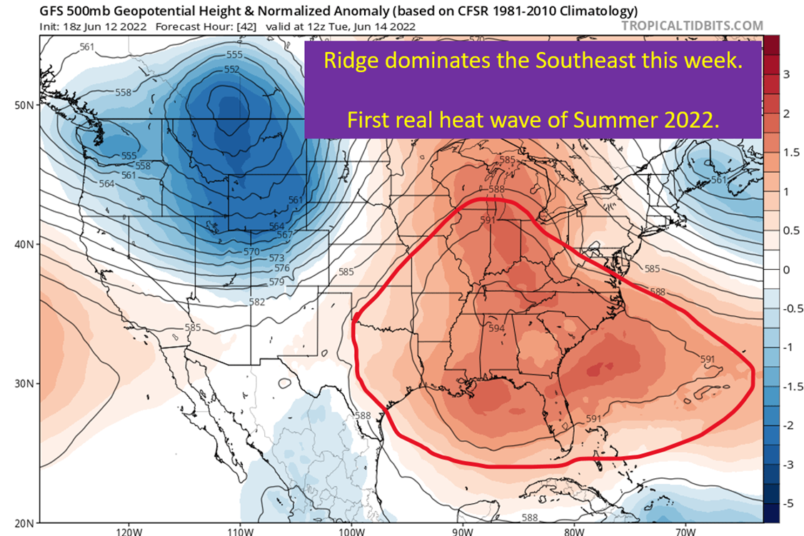
There is no easy way to put this, but we’re going to have summer take over for the next week or so. Large ridge over the eastern US, between a large cutoff upper low in the Atlantic and a large longwave trough in the west. Stuck in the middle will be a large ridge and one that is not going to be moving much over the next five to seven days. Rain chances will be next to nothing with the sinking air regime, and this just helps crank up the heating. Plenty of mid 90s to be had next week with those heat indexes creeping up toward 100.
I wish I had better news.
It’s Going To Be Unseasonably Warm
I can hear some of you now.
“It’s May. It gets hot in May, this isn’t weird.”
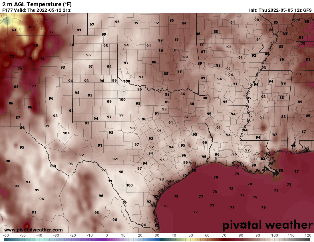
Sure, it warms up in May and especially by the end but getting multiple 90+ degree days this early is unusual. Many locations will be running 10-15 degrees above normal until Friday at the earliest. Couple with that the lack of acclimation at this point in the year, and people do need to be careful when working outside. Same rules as the dog days of summer. Drink plenty of fluids. Take breaks. Don’t overestimate what you can do.

Temperatures like the heart of summer for Texas and most of the south. Eastern Alabama and Georgia will have more seasonable weather as they will have some of the effects from the eastern cut off upper low.
The Omega Block
No, this has nothing to do with the Greeks.
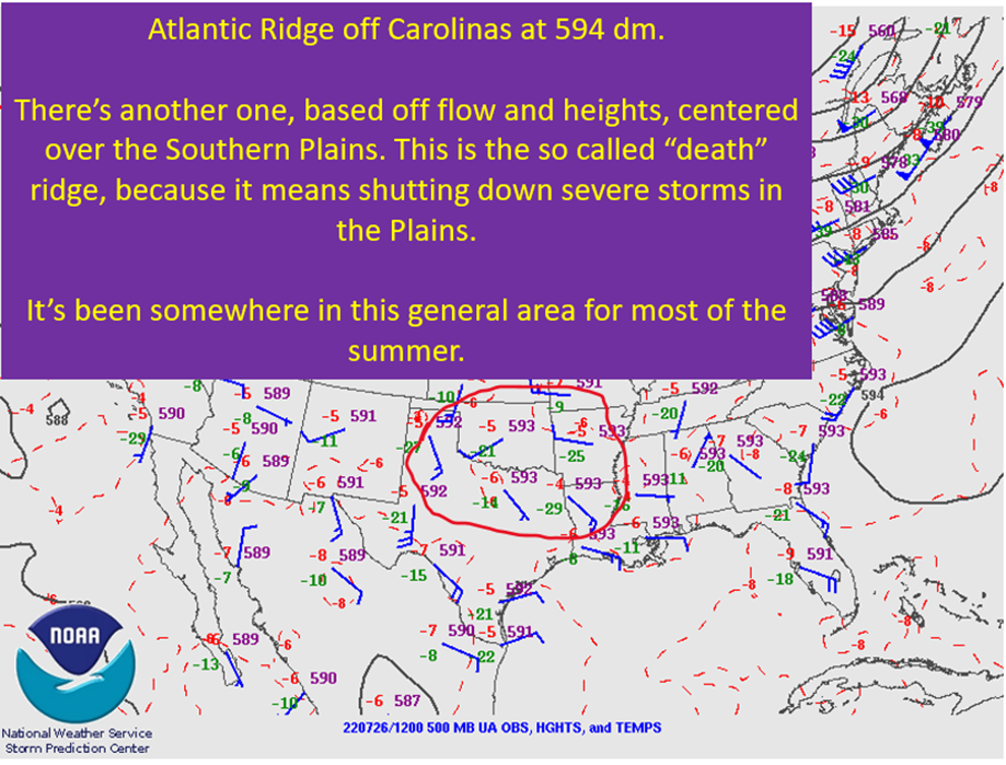
We’re going to have a high pressure cell to the north of a low pressure area, and these tend to be persistent. The same thing is, kind of, going to be happening out west with another big upper low on the west side of the ridge. It’s a large scale pattern and one that is generally slow to move. This is going to shut down the severe weather threat for the next week or so, outside of maybe some Iowa potential to start the week. It also is going to bake the middle of the country.

I also want to note how the ridge extends to the north of the eastern upper low. That too suggests this will be a stubborn pattern.
How Hot Will It Be?
We’re looking at a period of 92+ days for an entire week in Baton Rouge. This is based on a model blend of temperatures that your NWS office uses to help their own temperature forecasts.
Below I’m going to give you a table of the high temps expected from the model blend for a few locations. One day I will work on making prettier tables.
| Location | 5/8 | 5/9 | 5/10 | 5/11 | 5/12 | 5/13 | 5/14 |
| Baton Rouge | 92 | 94 | 94 | 96 | 94 | 93 | 93 |
| Birmingham | 84 | 89 | 90 | 90 | 87 | 88 | 90 |
| Dallas | 97 | 97 | 96 | 96 | 97 | 96 | 96 |
| Shreveport | 94 | 96 | 96 | 96 | 97 | 96 | 96 |
| Jackson | 91 | 95 | 95 | 96 | 94 | 93 | 94 |
If not for the Birmingham numbers, you’d think this was for the middle of July. Simply aggressive heat, thanks to that ridge with heights between 591 dm and 593 dm. Do your best to stay cool next week.
How About The Humidity?
We won’t have widespread 70+ dew points, most likely, but they will be at least in the mid 60s. That isn’t quite enough to drive up the heat index to summer brutality, but it still will be muggy out there. As I alluded to earlier, we’re not acclimated to this level of heat yet. So while this isn’t likely to drive out heat advisories, the heat still presents some danger given our bodies haven’t adjusted yet.

tl;dr version
Temperatures are going to be running 10+ degrees above normal across most of the Southeast next week. The culprit will be a strong ridge sandwiched between two upper lows that lead to a “blocked” pattern that is not quick to change. With the ridge reaching heights of around 591-593 dm, temperatures will be soaring into the mid 90s to even upper 90s in some spots. This kind of heat will likely be here through the weekend. Given that no one is acclimated yet, take it easy out there. This is a scenario where heat based illness can sneak up on you.
That’s all for today. Thinking I’ll be hitting some weather 101 this coming week. Also an early look at ocean temps and long range models for the start of hurricane season.


