In A Huge *NOT* Surprise, The May Hurricane Isn’t Happening
The Rundown
I’m sure you’ve seen the model runs on Facebook. Heck, I’ve talked about it myself a couple of times now. The GFS, one of the primary weather models we use, has been trying to spin up a May hurricane for days now. This has been, in large part, due to biases the GFS has in terms of convective feedback and making ridges too weak. By Sunday evening, the GFS appears to have come back to reality (mostly). Instead of a Gulf of Mexico hurricane, it takes a tropical system into the Yucatan and then back over water as a weak and sheared tropical storm.
So what changed to bring the GFS back to reality?
The Ridge Doesn’t Erode As Fast, Keeping It West

This forecast trend starts telling the story. What I want you to watch is the 588 line over near Florida. This gif is for the same point in the future, Sunday evening, but for different runs. The runs move forward in time. Watch how for the last run that 588 line is much farther west, actually touching the east coast of Florida. This forces the potential storm farther west, bringing it over land. The previous runs would have it trying to take the Yucatan Channel between Cuba and the Yucatan. This last run, at 18z on 5/15/22, brings significant land interaction.
Part of this is also timing of a trough coming from the western United States. It’s slower each run, and eventually isn’t enough of an influence to erode the ridge. This is a GFS bias as well, being too fast with upper level lows.
GFS Strengthens Too Fast – Land Keeps The Strength Reasonable
The GFS has been putting a mature hurricane into the Gulf of Mexico. This, coupled with how the GFS cranks convection, has meant the storm has had enough outflow to push back against the wall of shear over the Gulf of Mexico. This last run, at 18z on 5/15/22, has it at a reasonable strength entering the Gulf of Mexico. That allows the shear to rip into the storm, make it lopsided and weak. This is what I expect of an early season system. I fully expect this depiction to continue in future runs. The gif below shows it as a stronger storm on previous runs, before being a 999 mb tropical storm. The 999 mb, I could actually believe.

GFS Might Have The Right Idea With A System Pulling North
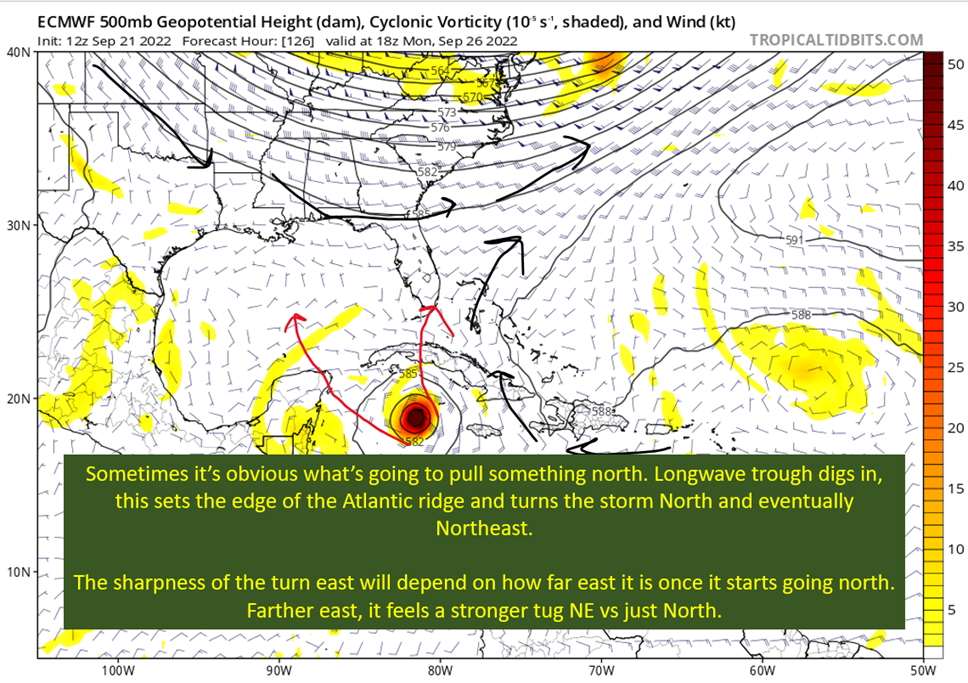
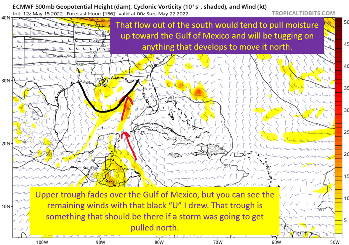
Spend this post mostly crapping on the GFS, but it might have the right idea on something pulling north into the Gulf of Mexico. The European model, on 5/15/22 at 12z, shows a scenario that could easily pull things north toward the Yucatan and potentially spin a tropical system up on the Caribbean side. In this run, the whole Central American Gyre (CAG) gets pulled north. This is because there’s an upper level trough across the Gulf of Mexico pulling the moisture north. That flow out of the south is why the GFS has been pulling it north, and now we’re seeing the Euro come closer to that solution.
Of course, it doesn’t even spin up a coherent system. Which, honestly, wouldn’t be much of a surprise either.

tl;dr version
In a surprise to no one, the May hurricane the GFS has been advertising almost certainly isn’t happened. The storm will develop slower than the GFS shows, and have more land interaction that has been shown in previous runs. That is, assuming it even forms at all. There is some reasoning to pull the entire CAG north, and pull whatever tropical system might have formed with it. Moisture would be pulled north by the upper trough that should cross the Gulf of Mexico next weekend, and I could reasonably see a weak tropical storm following that north.
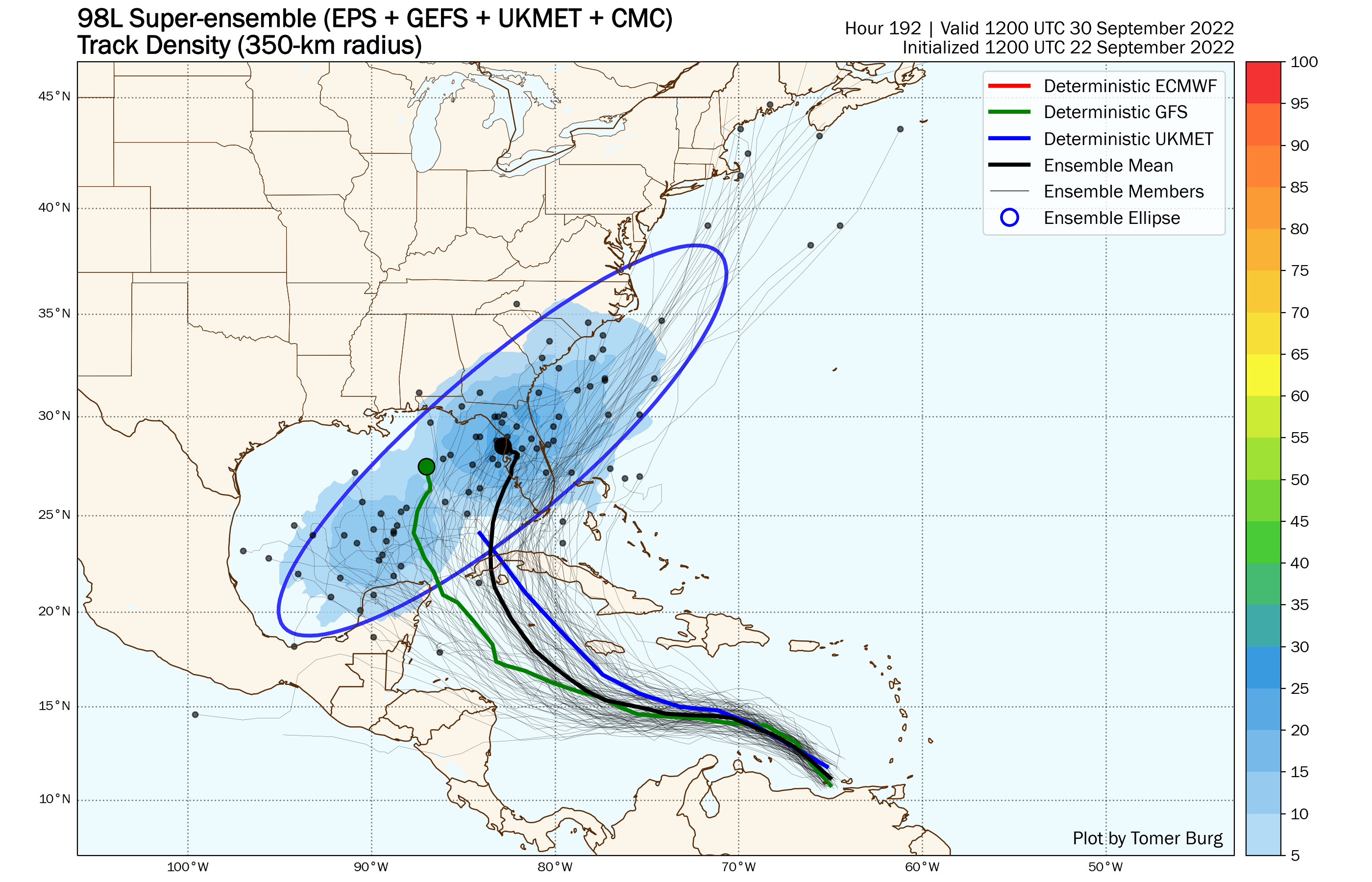
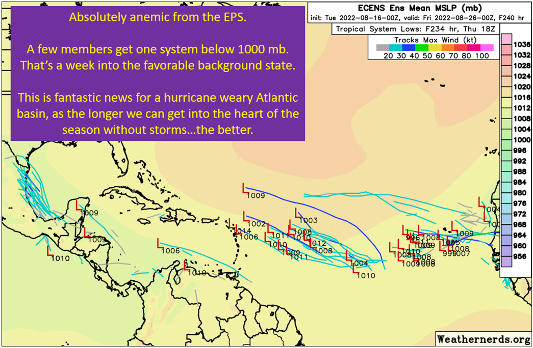
If anything forms, it will be lopsided with storms mostly on the east side and a weak tropical storm. Again, no need to worry about this at all, just a good system to get those tropical tracking muscles going. To finish, take a look at the Euro ensembles. Getting agreement of everything pulling north. Though there are many members that don’t develop at all.


