
Watching The Caribbean For Tropical Trouble
As of today, this is the first hurricane season since 1982 we haven’t seen a single storm from July 3rd to August 22nd. If we don’t see any storms by Labor Day, it will be the quietest season to that point on record based on Accumulated Cyclone Energy (ACE). It is fair to say it has been unusually quiet to this point, and there isn’t a whole lot to suggest things are going to get going in the next week. Going into Labor Day Weekend, there still isn’t any concrete on the models.
All of this is despite having a very favorable set up in the tropics. The wave train is active off Africa with the MJO getting into Phase 2. The waters are warm throughout the basin with yet another La Nina on going.
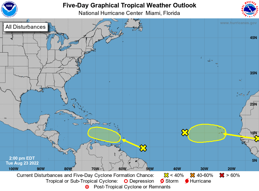
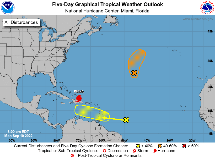
There is a feature that will be heading into the Eastern Caribbean this weekend that is starting to get some model support. It is in a good location for development chances, well relative to the MDR at least, and could end up being a headache. Still very early, but I’m going to discuss its prospects.
The Caribbean Feature With Roots In The Antarctic?
This past week, there was a surge of cold air into South America that pushed into the far northern reaches of the continent. This has lead to southwesterly flow off of South America, and surface convergence was enhanced along the ITCZ (Intertropical Convergence Zone) in the region. In short, this has lead to an increase in convection and sustained convection. All that vertical motion over water will get spinning if given enough time and decent upper level conditions.
This is all to say this doesn’t appear to really be a wave, but some sustained storminess that has a chance to develop into something tropical.
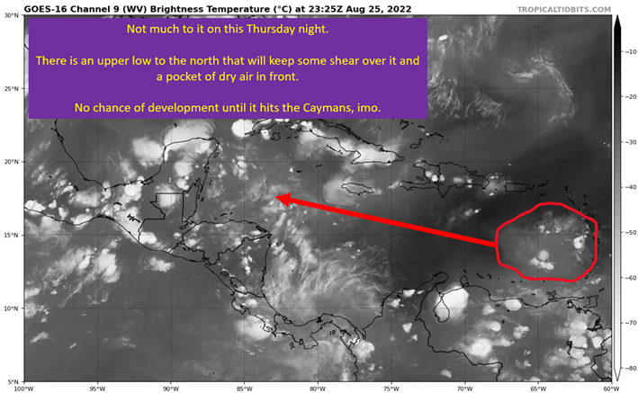
Or, to put it another way, NHC Forecaster Philippe Papin’s made a whole lot of sense to me.
Ensemble Support Isn’t Strong But This Is A Real Signal
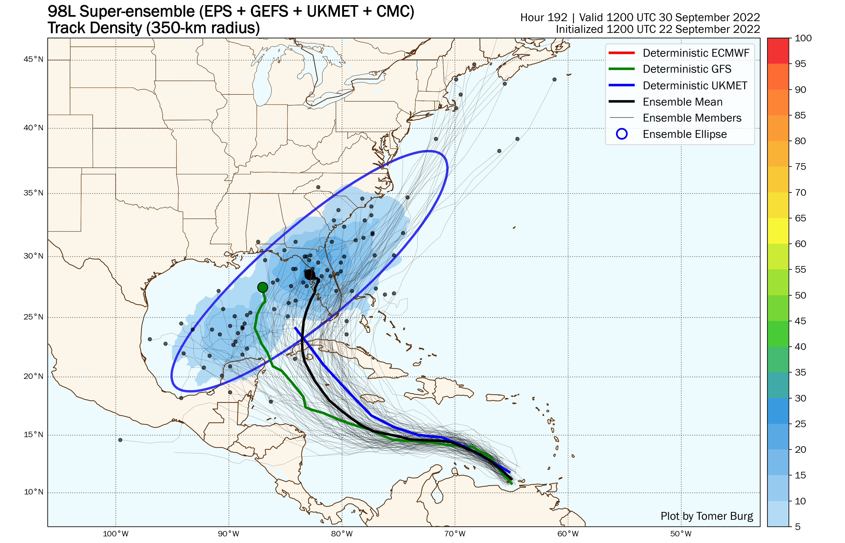
For the first time since June, I think we have a plausible to probable case here. The location is critical, with the system tucked far SW near South America. This keeps it out of the Main Development Region (MDR), where dry air and shear continue to punish every single wave that comes off Africa. I think there is something to this genesis. The ensembles aren’t biting that hard yet, so not a lot of guidance to be drawn from them just yet. One thing to notice is that stronger storms get farther north early on, which means we will be watching how fast it organizes. That will give the first clues as to who is at risk (potentially) from this system.

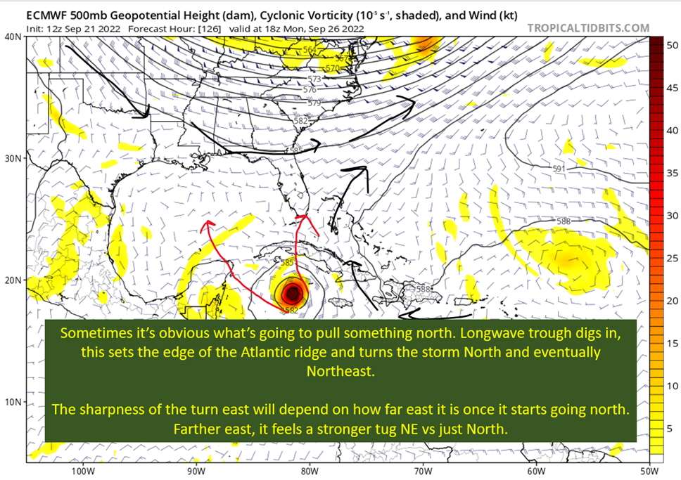
My Concern Is It Would Almost Certainly Hit Land From There
An unfortunate steering pattern emerges on both the GFS and Euro. There ends up with a building ridge on the NE side of where a potential system would be. The steering on both would send a storm into the Gulf of Mexico and on a N to WNW heading.

We don’t know details yet, and that would determine final path. We also don’t know if this is even going to develop. So no need to get worried, but this is the time I’d be considering what your hurricane plan looks like. The big picture here is something I was hoping to avoid this year, but still a lot of time for things to not materialize and a lot of time to plan if needed.
tl;dr version
While the tropics are quiet for the most part, we have a feature in a bad location that has a reasonable chance to develop.
That’s all we really know at this point. It needs to develop first before we get concerned with anything. Then we don’t know exactly where it would end up, if it does form.
The steering and current location have raised my concern for the Gulf Coast but there is no reason to do much more than keep an eye on this come the weekend and go over your hurricane plan.
I expect to have a few more posts this week, assuming it looks like this develops.
Related Posts

Hurricane Season 2023 Preview: El Nino Returns
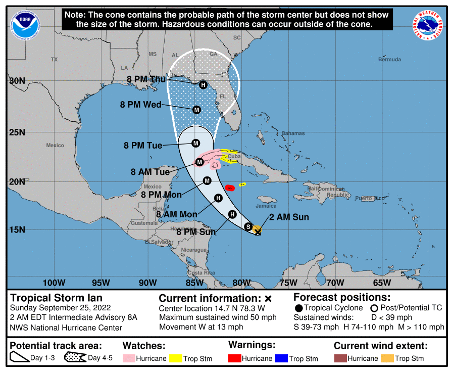
Tropical Storm Ian Churns in Caribbean As Models Shift West
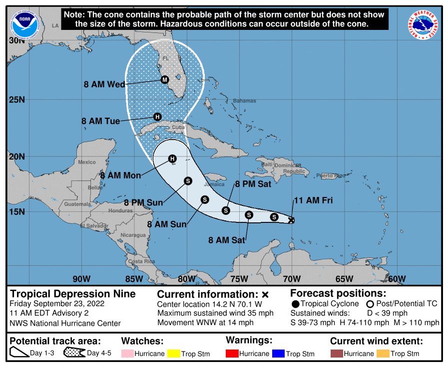
It’s Officially TD9, And The Models Are Targeting Florida
98-L: The Model Madness Continues
Getting To Know The Steering Players For Future Hermine
Y’all Need To Pay Attention To The Next Wave
Danielle and Earl First Storms In Atlantic In Two Months
Expecting Danielle By The Weekend. Otherwise, Shear and Dry Air Dominate.
Still Watching Caribbean For Tropical Development
