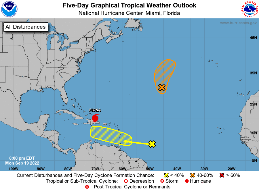
Y’all Need To Pay Attention To The Next Wave
Nope. I don’t care for the 12z GEFS and EPS very much at all.
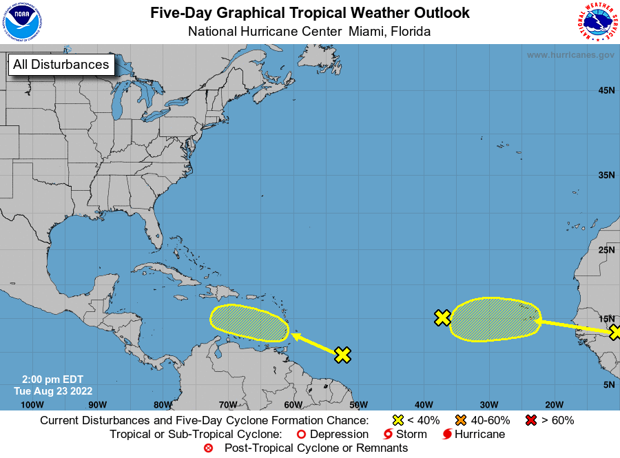
The short version is there is broad ensemble support for a tropical system running into the Western Caribbean in ten days time. It’s a normal spot to see a tropical system going into early October too. The model support plus the climo means I’m going to be keeping a very close eye on the trends for this one.
The timeframe for a potential Gulf of Mexico entry is around 10-12 days from now. Details of where this goes, if it develops, aren’t knowable at this point but for the general idea of something moving out of the Western Caribbean toward the Gulf of Mexico.
I’ve seen enough that I think it wise to do a deep dive on the steering and upper level support. Best way I know how to do it is to go top down. So let’s build some situational awareness of what is ahead for this wave and see why there is always reason for some concern.

The Upper Levels (Jet Stream Level) Are Extremely Concering
There’s no nice way to hide the medicine here, the upper levels will be extremely conducive to strengthen a tropical cyclone. There will be an anticyclone over a potential Gaston, which would mean low shear and an enhancement to the outflow. A jet streak located near the Atlantic would allow a vigorous poleward outflow channel to form. In addition, outflow should also extend equatorially due to the clockwise flow venting the potential storm.
Expect the deterministic (GFS, Euro…you know, not ensembles) models to be quite aggressive with the strength given what is being depicted at the upper levels. There is reason to also suspect the models aren’t wrong about the high end strength potential here.
This is never what you want to see.

Well that wasn’t uplifting, I’m sure the 500 mb level will be though!
The 500 mb Level Is NOT More Uplifting

Sigh.
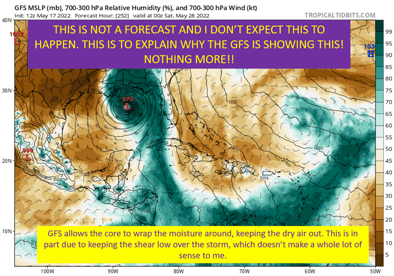
There’s a reason nearly every ensemble member that develops this wave moves it into the Gulf of Mexico. What happens is the ridge over the Atlantic gets eroded by the trough over the Eastern United States. This, in effect, opens up a weakness to the north that a potential Gaston would be steered toward. That’s as far out in time I feel confident concerning the path. The range of possible outcomes, even in the earlier period, covers most of the Western Caribbean.
In other words, details are still very fuzzy but the general idea of something moving WNW to NW through the Western Caribbean by next week is likely.
Yeah, not great.
Maybe there’s some dry air?
There Could Be Some Dry Air Struggles, But Early Indications Are It Would Be Minor
There isn’t much complicated here. Ingesting dry air is bad for a hurricane but there isn’t a significant amount showing up on the models. The potential storm, both on the GFS and European, is able to tuck into a large moisture envelope and keep dry air that will be lurking to it’s west out of the circulation. Now, this is tricky for models to get exactly right and dry air might be more of an issue than being shown by the models.
To keep with the theme, I don’t like what I’m seeing from the models here.

I guess at this point we need to look at the potential shear profile. Since we know the low levels will be pushing a storm west, and this is why the wave will continue west in the near term. You know, since a wave is “shallow” and it’s direction will be governed primarily by the low level flow.
Since it would be trivial to look at that level for direction, let’s take a look at it in terms of the whole column and see what kind of shear this future Gaston would face.
GFS Says: What Shear?

That’s ugly.
GFS with 5 kts of shear through the column. There is more in the lower levels, from about 900 mb to 600 mb but it wouldn’t be enough to make much of a difference. Now, as I always scream, this is just a model run and the details are to be taken with a grain of salt. The general idea isn’t what we want to see, as this suggests even if the shear isn’t 5 kts light…it’s likely going to be light.
Taken Together: The Ceiling On This Is Extremely High
What I have laid out today is the recipe for creating a major hurricane, even potentially a Category 5 hurricane. That doesn’t mean it will happen, as land interaction could limit strength. Everything else is screaming for a major hurricane, assuming something does form off this wave. It does not appear it would lose any strength if it gets in the Gulf either. The high end potential is one reason I’m already a little concerned by this system.
Now, we’re at least ten days away. Things can change and the details of who might be impacted are unknowable. So, no need to stress too much. It is time to pay close attention and review your hurricane plan.
tl;dr version
There is currently broad ensemble support for a tropical system entering the Gulf of Mexico from the Western Caribbean in 10-12 days time. That’s all the details on path we really have at this point. The ensembles have a spread from Central America to Florida, don’t get swept into individual model run landfall locations. They are just many possible solutions at this point. We’re not nearly ready for the details yet on US landfall.
The really bad news is the upper levels should be incredible conducive to a hurricane strengthening. Shear will be low, outflow will be greatly enhanced, and dry air will stay away. Well, at least assuming all the modeling has it right and I don’t see much of a reason to think they aren’t.
It is time to think about your hurricane prep, but that’s all you really should do at this point. No need to get too worked up. No need to go buy supplies yet. We don’t know where it’s going, we don’t know exactly how strong it would be. Hell, some ensemble members still don’t even develop it.
So don’t waste too much worry, just know we’re going to be watching this trough the end of September.