This 101 explains the famous cap. How it forms and how it can be broken to yield explosive thunderstorms.
Category: Severe101
The Severe Weather Basics
Hodographs Part 2 – Shear and Storm Motion
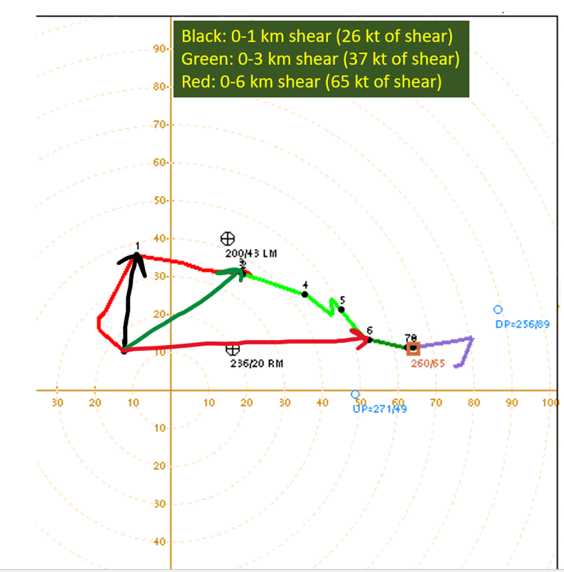
The second post in the series about hodographs. This one discusses how to see shear on the hodograph, estimating storm motion, hodograph shapes and what they mean for splitting cells.
Severe Weather 101: Hodograph Basics
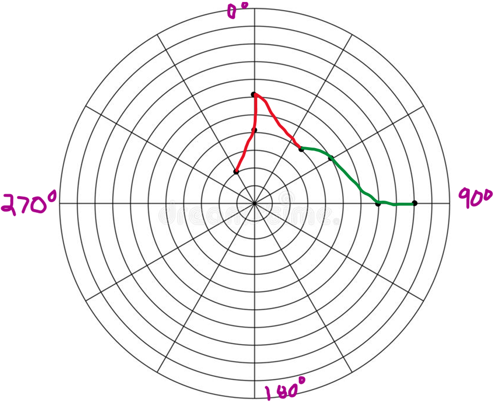
This is the thing I get the most questions about. This incredibly useful tool might as well be Greek to the average lay-person. So, I want to demystify it. In this post I’m going to lay out the basics of how a hodograph is constructed. Wind Barbs Wind As A Vector Polar Coordinates The Polar […]
Severe 101: What is shear? Why does it matter?
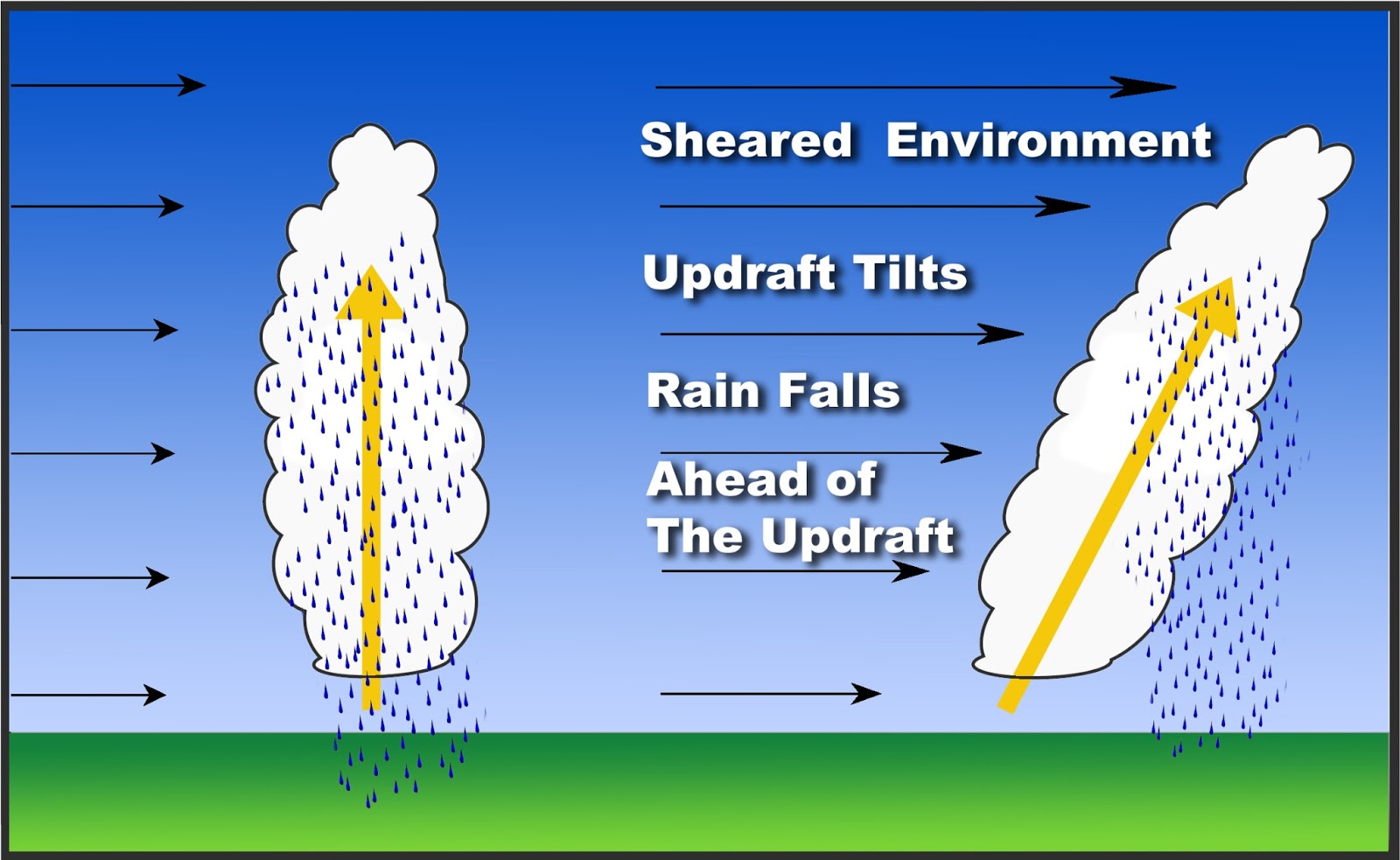
During the lead up to severe events, you’ll hear two things mentioned a lot. Instability, which tells you about how quickly air would want to accelerate upwards due to buoyancy differences. Also shear, which comes from velocity (which means speed and direction) differences with height in terms of wind within the environment. Shear is what […]
Severe 101(Part 1): What is CAPE?
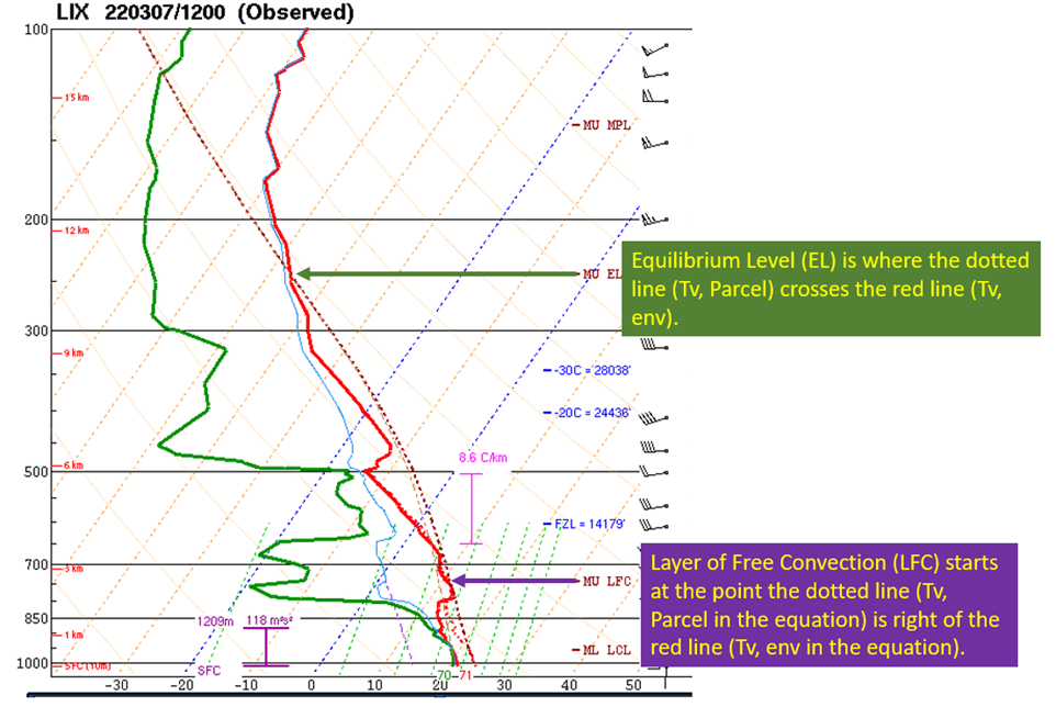
During severe weather season, we’re looking for two main things. How much potential is there for an updraft to spin (shear) and how much buoyancy is available (instability) to have the air rise. Synoptic scale forcing is another piece of the puzzle but typically if you have a severe weather outbreak…you’ve got the forcing. CAPE […]


