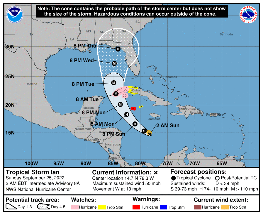
Tropical Storm Ian enters the window to organize and strengthen quickly over the next few days. All the while models continue to disagree on track.
Tag: tropics
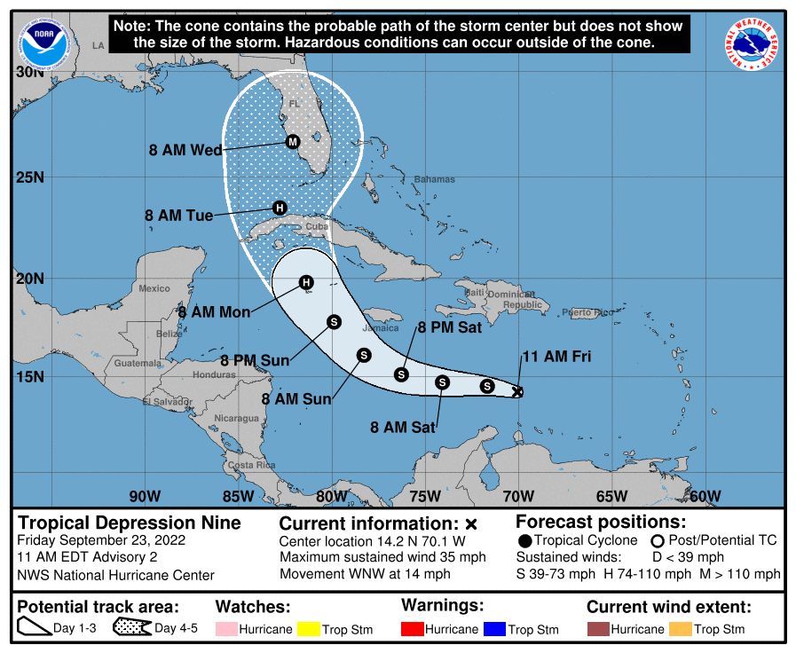
It’s Officially TD9, And The Models Are Targeting Florida
TD 9 has officially formed in the Eastern Caribbean. The West Coast of Florida is under the crosshairs as things stand today. This will also probably be a significant strike to the region.
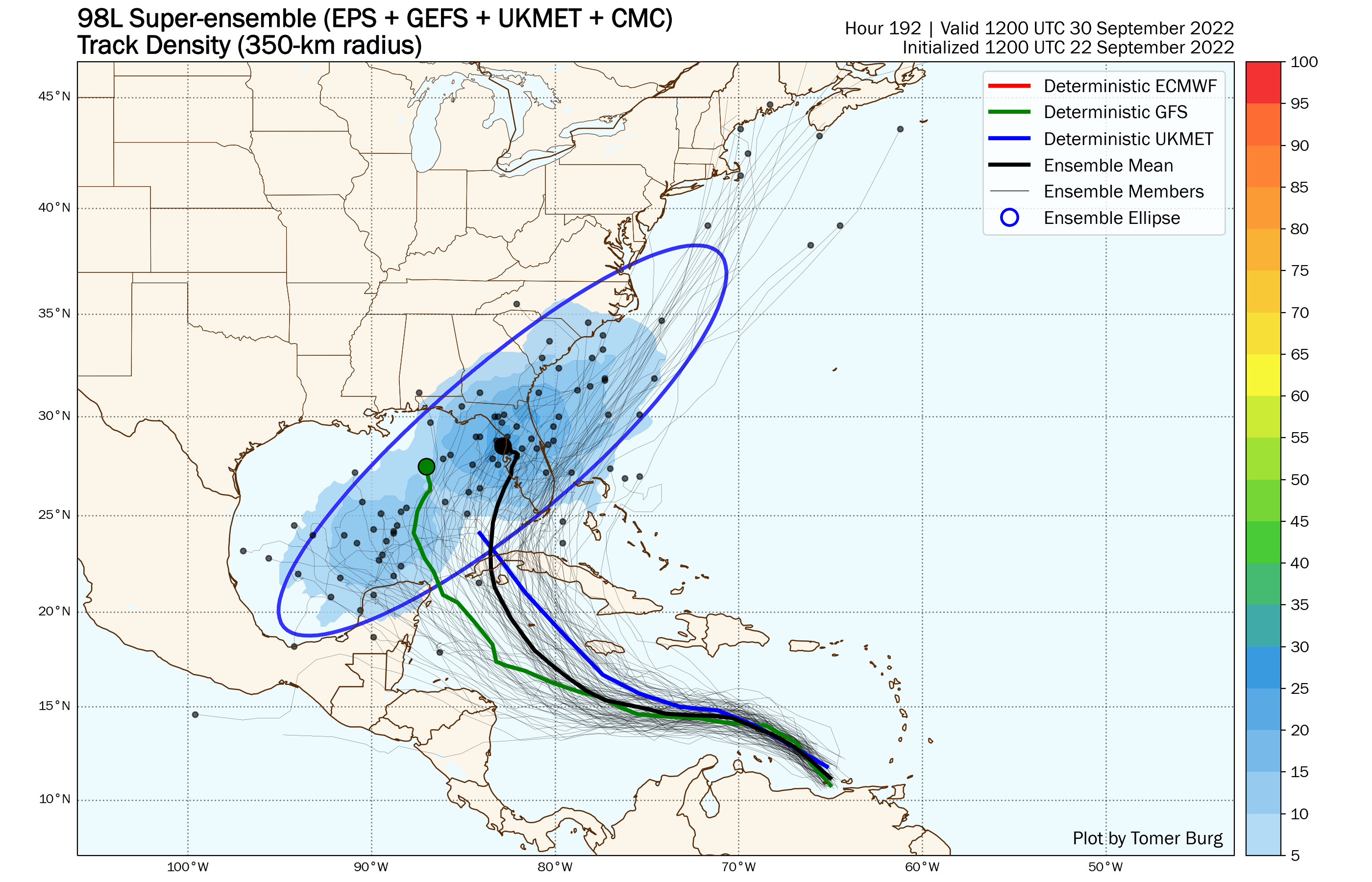
98-L: The Model Madness Continues
98L continues to fight shear and work toward closing off into a tropical low. It also continues to befuddle the models. Trying to bring some clarity to the clear as mud modeling picture.
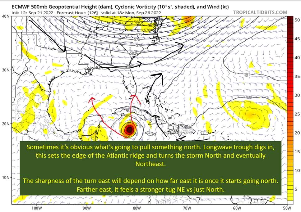
Getting To Know The Steering Players For Future Hermine
Today I dive into what this early shear, an upper low in the NW Caribbean, and the giant longwave trough over the eastern United States will mean for the future path of future Hermine.
Danielle and Earl First Storms In Atlantic In Two Months
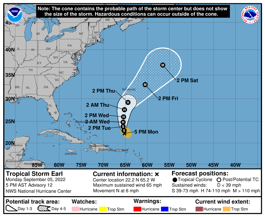
Danielle will decay over the open northern Atlantic this week. Earl will flex into a major hurricane by the weekend. Neither are any threat to land.
Still Watching Caribbean For Tropical Development
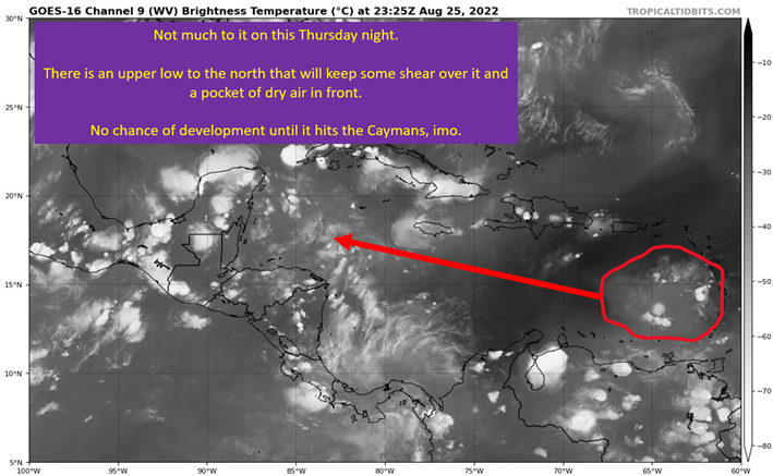
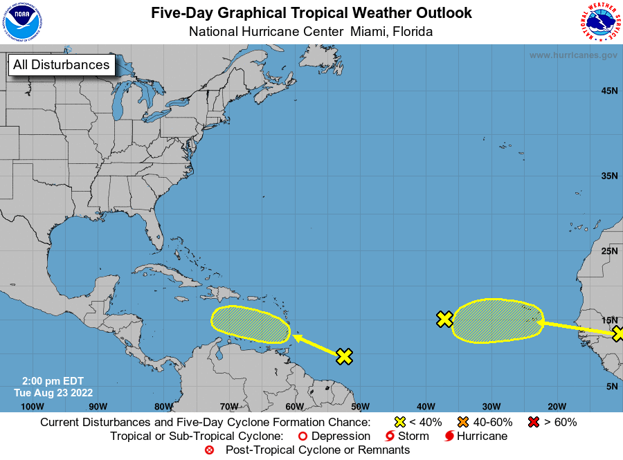
Keeping an eye on the weak tropical wave in the Eastern Caribbean for possible, but not likely, development next week.
Watching The Caribbean For Tropical Trouble
Watching the Eastern Caribbean for the formation of Danielle, potentially. If something forms, the steering could well send it toward the Gulf Coast.
The Tropics Appear Quiet For Next Couple of Weeks
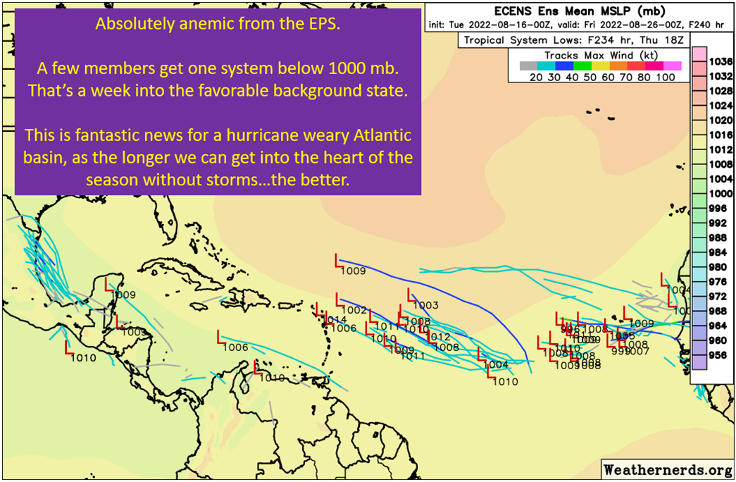
Ensembles anemic, but maybe waking up as we get into mid-August. Still hunting for signals that the tropics are going to wake up.
A Brief Cooldown In The Southeast And Watching The Tropics
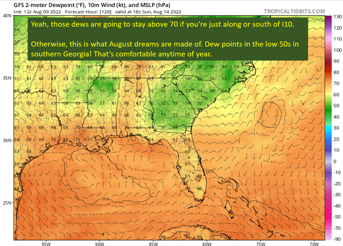
Dew points dropping this weekend with flow out of the north. Georgia and South Carolina get a proper cooldown, while it stays hot in SEC west country.
Pattern Change Is Here: Rain Plus Some Tropical Homebrew Potential
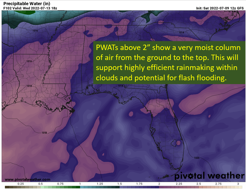
Lots of humidity. Upper level low. This makes for efficient rainmaking. Plus, some potential for a weak tropical disturbance to spin up.

