Summer Of The “Death” Ridge: Hot but Helpful In Terms Of Tropics
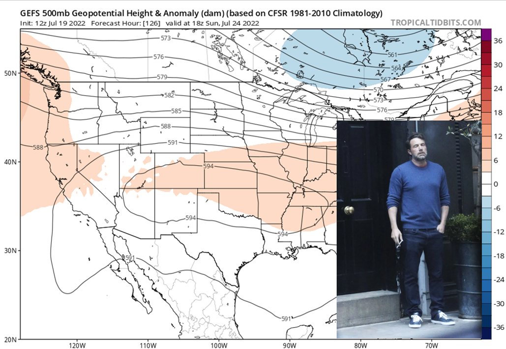
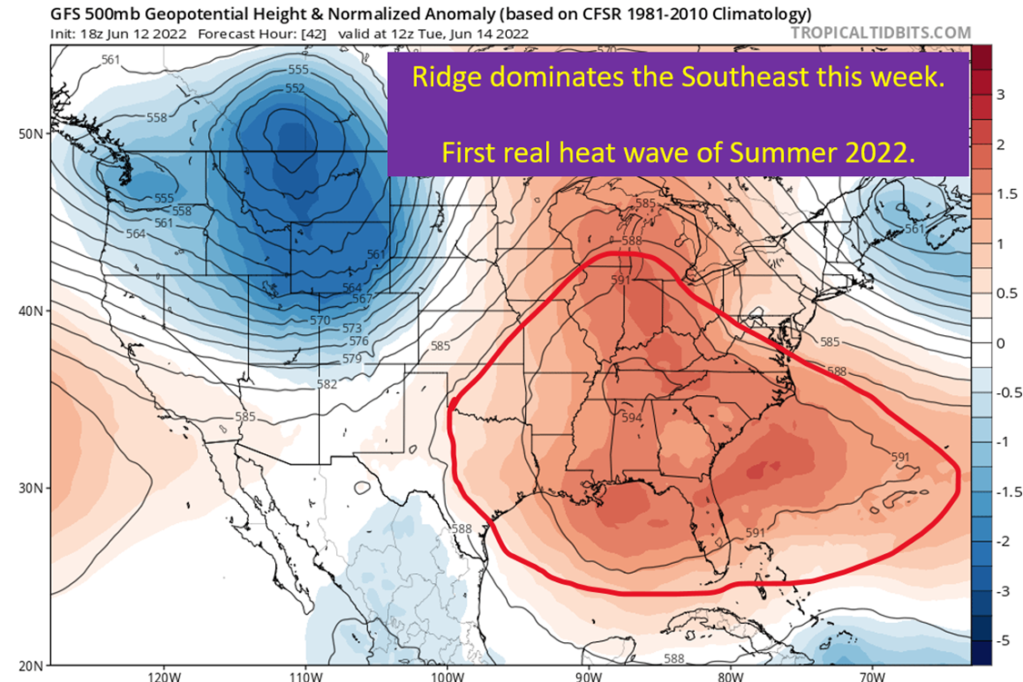
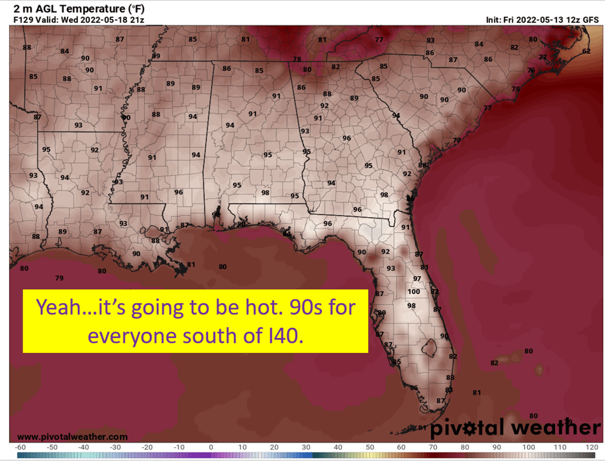
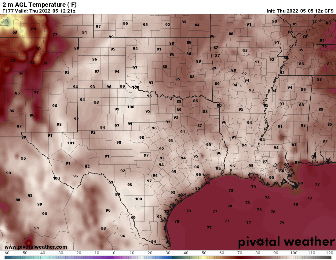
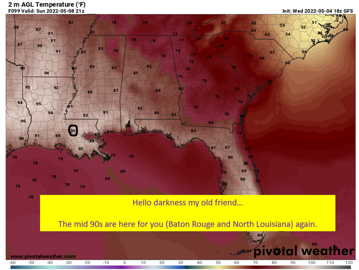
The story of this summer has been the relentless heat over the southern half of the country, and specifically for the southern Plains and Southeast. This has been due to a semi-permanent ridge that has been sitting over the southern Plains for most of June and July. When the ridge flexes and heights rise, you get heatwaves like you saw in Oklahoma and the Mid-South last week. They wane, like the map I’m going to show you below, it is still hot but not the brutality of the true heat waves.
It sucks. At least it does in terms of comfort. There is a benefit though, at least for the hurricane ravaged Northern Gulf Coast. The general ridge placement and strength so far this summer would tend to keep tropical systems buried far to the south. If this general pattern holds into the middle of August, when the tropics should heat up, it would typically see storms curving NE near or into Florida. Well that, or they would get tucked under the Oklahoma ridge and get forced into South Texas or Mexico.
This isn’t to say the Northern Gulf Coast is safe from storms this year. Pattern could change and even with this pattern in place, sometimes a storm just times it right to find a gap to the Northern Gulf Coast. It is just that the odds appear lower to get a Northern Gulf Coast hurricane vs the last two years with the Bremuda Ridge dominant.

“Death” Ridge Tends To Keep Storms Buried To The South
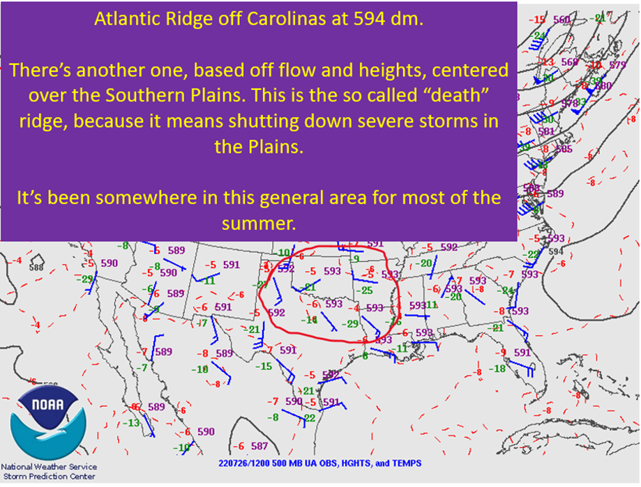
When forecasting hurricane tracks, a good place to start is at the 500 mb level and check what the heights are showing you. This level is useful because you don’t have any of the boundary friction issues of lower and higher levels and it ends up giving a good approximation of the mean flow a storm would experience.
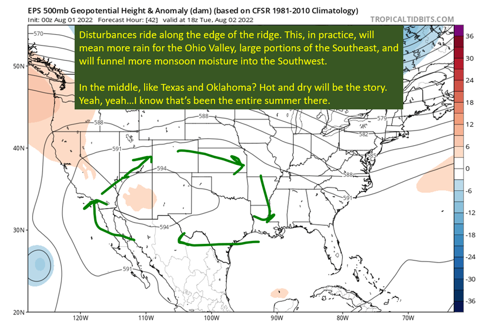
We know flow around a ridge is clockwise. The positioning of a ridge to the NW of y’all means flow will tend to be from the east to the west. This keeps storms to the south without a route north.
Now, it won’t always be that way as things shift around. Just look at this week. The Plains ridge will act more like an extension of the Bremuda ridge over the Atlantic. At other points it will tend to be separate from the Bremuda ridge. When that happens, you can get a weakness between the two that a storm could take north. The thing is, I’d expect that weakness to be more over Florida than the Gulf Coast proper.
In general though, this pattern would be good for the hurricane weary Northern Gulf Coast.

Enjoy The Quiet Tropics For Now: Looking To Mid-August For The Switch To Flip
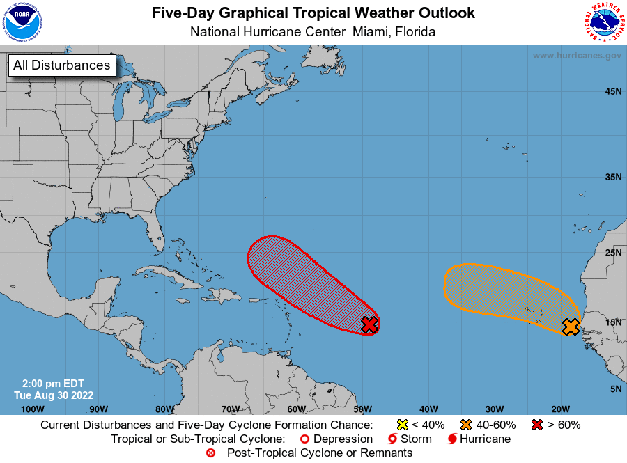
We’ve had a couple of homebrew possibilities and one wave that got a little model support in July, but otherwise there’s been nothing of note in the tropics. This was expected to be the case, with the MJO being in unfavorable phases and no CCKWs to make the unfavorable background better for storms. That looks to be changing. Modeling is showing the passage of two or potentially three CCKWs from mid August till the end of the month. Each of those would create a more favorable state for tropical formation. In addition, the MJO will be moving toward those phases 7,8, and 1 that are more favorable for Atlantic tropical formation.
It’s always quiet in July y’all, unless it’s 2005. We know the danger-zone time is coming. Take the time now to review those hurricane plans and fill any gaps in the supplies. I doubt I’ll be talking about quiet tropics this time next month.

tl;dr version
The good news? The pattern so far this summer is one that would generally keep hurricanes away from the Northern Gulf Coast. The bad news? It means that hurricane protection comes at the cost of oppressive heat. There’s been a ridge generally centered over Oklahoma that has drifted west and east over the course of this summer. The positioning of it is such that flow has mostly been from east to west over the Gulf of Mexico.
If this pattern holds into the heart of hurricane season, this would keep the Northern Gulf Coast blocked from tropical systems more often than there being a window to get one in. This is certainly in contrast to the last two years, where the road to Louisiana was wide open most of the season. It implies more risk for southern Texas and Florida.
All of that said, I’m talking about probabilities here. The timing could always be such where the weakness is there for the Northern Gulf Coast when a hurricane is coming through. The pattern at the time matters for a given storm. It is just that the odds of getting everything lined up to push something into the Northern Gulf Coast are diminished if this overall pattern remains through August.

