
The “Ring of Fire” Continues and Weekly Tropical Update
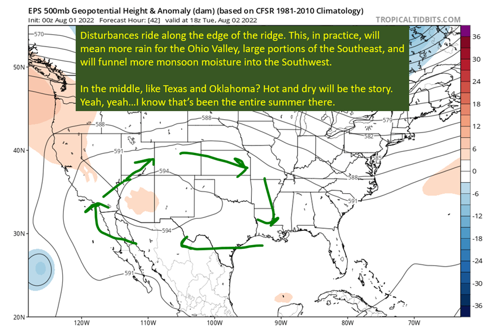
The so called “Ring of Fire” pattern is set to continue, with ridging across the middle of the country and storms along the periphery. The storms along the periphery have already, tragically, delivered flash flooding in eastern Kentucky that killed 35 people as the time of this posting. Sadly, many more remain unaccounted for. Flooding and heat might be the unsexiest types of hazards but they kill more people than any other hazard.
The Government of Kentucky has set up a webpage with resources for the victims and has a link at the top to donate to help. Check it out: HERE
Looking ahead, it’s going to be a wet week along the northern Gulf Coast. The Ohio Valley, and sadly parts of Eastern Kentucky, will be getting into the rain early in the week as well. Texas and Oklahoma are just going to continue with the baking from the heat and sunshine. I’ll get into the details below.
Finally, I’m going to take my first look at the tropics going into the heart of the season. The short version is things will remain quiet for the next two weeks at least. After that, some hints are showing up for activity to pick up. Plus, it is historically when hurricane traffic starts picking up.
So let’s jump in to the current pattern…

A Proper Soaking For The Northern Gulf Coast
The sounding from NWS New Orleans on the morning of August 1st tells the story. To no one’s surprise, this August airmass along the Gulf Coast is quite moist. Precipitable water values were at 2.21″ at Slidell and 2.22″ at Lake Charles this morning. That much moisture in the column yields the potential for exceptional rainfall rates that cause flash flooding due to how efficient the rainmaking process can be in such a warm and moist environment.

We know there will be plenty of fuel for storms looking at how much moisture will be available. If the ridge is overhead, it would just be a recipe for miserable heat indexes with no relief from storms. That ain’t the case though, as the ridge weakens and sits off to the west of the Southeast. The Bremuda High isn’t set to reach far enough east to be in control either. Stuck between the two, with abundant moisture, expect good rain chances all week across the Southeast. Also, keep an eye out for flooding after those heavier downpours.

More Punishment For The Southern Plains and Flooding in the Ohio Valley

The heart of the ridge is where there is no rain, and this means its going to be hot and dry across most of Texas and Oklahoma. Temperatures should reach the triple digits in Dallas and OKC for the next five days with limited cloud cover to keep things cool. I bet everywhere east of the Rockies is going to remember this as a hot summer, but Texas and Oklahoma have been feeling the burn the most. Shades of that Summer of 2011.
I also want to point out how much precipitation is expected along the Ohio Valley. The entire region is in the sweet spot between the ridge dominating the south and the northern stream in Canada. Get some thermal clashes and disturbances swinging through, and you have the pieces for rain. The problem is that we are in August now, and that warm air mass is as warm and moist as it gets over the United States.
This is a dangerous time across that region, with Illinois and Eastern Kentucky already experiencing the flooding potential of this set up. It won’t likely be extremely widespread flooding, but locations are going to see extremely heavy rain as systems move through. It is difficult to pinpoint where ahead of time unfortunately.
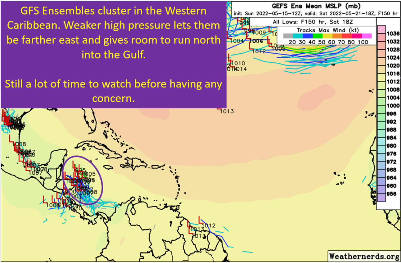
Now, since it’s August 2nd, it is time to take a look at the current state of the tropical Atlantic.
All Quiet Currently in the Tropical Atlantic

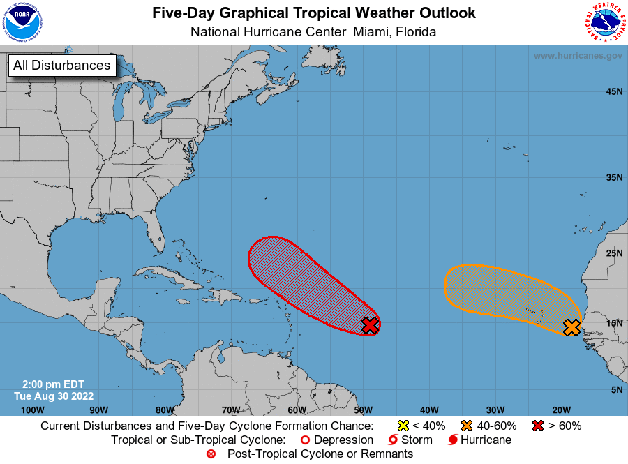
The tropics are still shutdown across the Atlantic. The Intertropical Convergence Zone (ITCZ) is active with waves, as expected, but still sitting down too far south. In the Main Development Region (MDR), dry air is keeping a lid on things. There’s also a little upper low spinning north of the islands and putting shear across the western MDR and eastern Caribbean as well. In terms of steering, weak ridging is in control over the entire northern Atlantic Ocean. Traffic is running east to west in the tropics, with no real window to turn north. Not that it matters currently, as there is nothing of concern out there currently.

So When Will The Tropics Wake Up?
I’m really not sure exactly when. I think the logic is pointing to that traditional last 10 days of August, maybe a little sooner. Trying to game out how the MJO is going to progress is challenging, with modeling splitting on the evolution. The GFS ensemble suite has the breaks slam on the eastern progression, which would leave the Atlantic less favorable for longer. The rest of the modeling does progress it east, but the signal is weak. This would bring a more favorable state to the Atlantic by mid-month but won’t likely be the flurry of activity a stronger amplitude passage would bring.
There also appears to be some signals for convectively coupled kelvin waves (CCKWs) moving through the basin by mid-month. These aren’t as robust as a MJO passage, but would also serve to lower shear and set up a more conducive background.
At this point, I’m expecting to start to see some signals for tropical activity in the Atlantic by next week on the models. Just some hints, nothing concrete or real. That will take a little more time. I’m going to be doing updates on the state of the tropics at least once a week going forward. It is, of course, that time of the year.
tl;dr version
Hope y’all like the current pattern, because it isn’t going to be changing much over the next week. Ridge centered over the Southern Plains will bake Texas and Oklahoma, keep the monsoon active in the southwest, and bring showers to the Southeast and especially the Ohio Valley. Will have to watch for more flash flooding in the Ohio Valley as the synoptics favor that region the most for rain. Farther south, expect that pattern of afternoon pop-up showers to continue with seasonable August temperatures.
Then to the tropics, where things are quiet to start August. A few waves in the ITCZ with little chance of development. Looking ahead, it will probably be the climatologically favored last part of August and into September that things really get going. There isn’t a strong signal for intraseasonal forcing (like the MJO or CCKW) to get things going, but the background should at least improve over the Atlantic over the next few weeks. That happened when hurricanes typically happen makes me think that is when we get rolling. Somewhere near of after August 20th.
That’s all for today.
One thought on “The “Ring of Fire” Continues and Weekly Tropical Update”
Comments are closed.
Related Posts
Expecting Danielle By The Weekend. Otherwise, Shear and Dry Air Dominate.
Summer Of The “Death” Ridge: Hot but Helpful In Terms Of Tropics
Discussing The Hurricane That Isn’t Happening, Again
Third Week In May: The Big Weather Stories

The Central American Gyre Is About To Get Going
New Mexico And Arizona: Fire Weather All Week
August 6, 2022 at 10:00 am
I really enjoy reading your site. It is something I look at almost daily. That and Tropicaltidbits. I think you are a poster on Tigerdroppings and I am as well. My handle is Alphaandomega.
I am also part of a charity that provides free meals to disaster locations. Last year we went to Lillian AL, DeRidder LA, Lake Charles LA, and Prairieville LA.
If you are in LA and whenever we have another storm and you know of areas where we could be useful please let me know. We usually try to setup in an area that allows for a circular “drive-thru” type area for the food to be given to people in cars. We have been at churches or public building like a firehouse. The only thing we need is running water. Our trailers have generators and we have a sleeping camper. So all we need is water and an area to setup.
Please dont post my email or phone number but if after a storm you know of a place in need that we could go to please let me know. If you call my phone please leave a voicemail because I dont answer calls that I dont recognize (usually spam callers).
Cecil Ozment
Cecil @ozment.com
205-792-9268