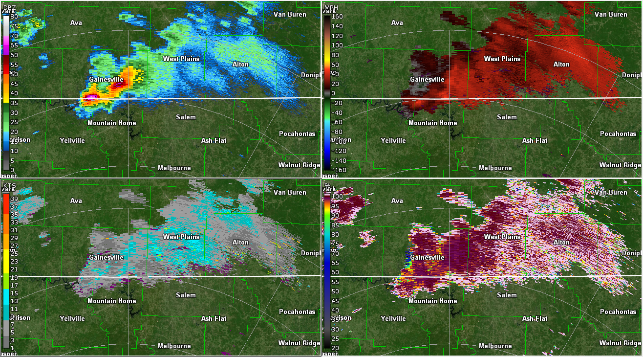
Central Plains Friday: Triple Point or Dryline?
The Rundown
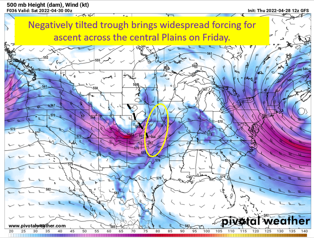
On Friday, a negatively tilted trough ejects eastward off the Rockies and provides forcing to get vertical motion going. At the surface, areas near the resulting surface low in Nebraska/northern Kansas will be a favorable spot for severe weather. Farther south there will be a dryline extending into Kansas and Oklahoma that will be an area of surface convergence for severe storms as well. The usual questions about the cap remain, and how the diminishing forcing for ascent into Oklahoma may limit chances down that far south.
Friday: Oklahoma, Kansas, Nebraska

I might have been a little aggressive drawing the trough axis, but still have a negative tilted trough ejecting to the east northeast and providing forcing for ascent across the central Plains. This certainly is favorable for severe weather in a vacuum. The caveats are with capping expected and nothing but a dryline (and maybe an outflow boundary) to focus things at the surface how widespread will storms be? There will be two general locations to be looking for storms tomorrow.
- At the “triple point” near the surface low up in NE Kansas and SE Nebraska
- South into southern Kansas and into Oklahoma along the dryline
I suppose I should look at each option and do a quick breakdown.
Triple Point: Surface Low Helps Convergence and Cap Will Break Up There

One area that is certain to get some storms will be near the low pressure where surface convergence will be the greatest and support for lifting aloft will also be overhead. Couple with that some impressive instability, strong lapse rates, and good amounts of shear and you have a situation where all modes of severe weather will be possible. These storms will eventually cluster and start working to the east as the trailing cold front swings to the east by nighttime.
With these storms, giant hail and a couple of tornadoes will be the primary threat. As of this morning, odds are increasing of these threats up near the triple point.
The Dryline: Oklahoma and Kansas With Supercell Potential

The dryline is always going to be more conditional on the subject of if storms will fire. I think a few will in Kansas and Northern Oklahoma as the stronger upper level winds nose into the region. Closer to the low, there will be an issue of very low storm relative winds at the 4-6 km level. What this does is mean the storms will tend to ingest their own rain/stable air coming in the downdrafts and potentially short-circuit the updraft process. Farther south, they should be strong enough to support some high precipitation supercells.
The problem farther south is the forcing for ascent won’t be as strong. So storms may struggle to get going initially vs the capping that should be there. In other words, we have a few ways storms down here could fail.
If they do fire off though, potential for strong tornadoes with large hail will be present.
tl;dr version

A negatively tilted trough coming off the Rockies and resultant surface low will provide for a severe weather threat across the central Plains. Near the surface low in northern Kansas/southern Nebraska, there will be a greater probability of experiencing severe weather, especially large hail. Some tornadoes will be possible though. Farther south, the odds of experiencing severe weather is lower but I think the potential for stronger tornadoes is higher.